
Open Data Re-using | Supply and demand of the municipal road transport network
MOBILITY
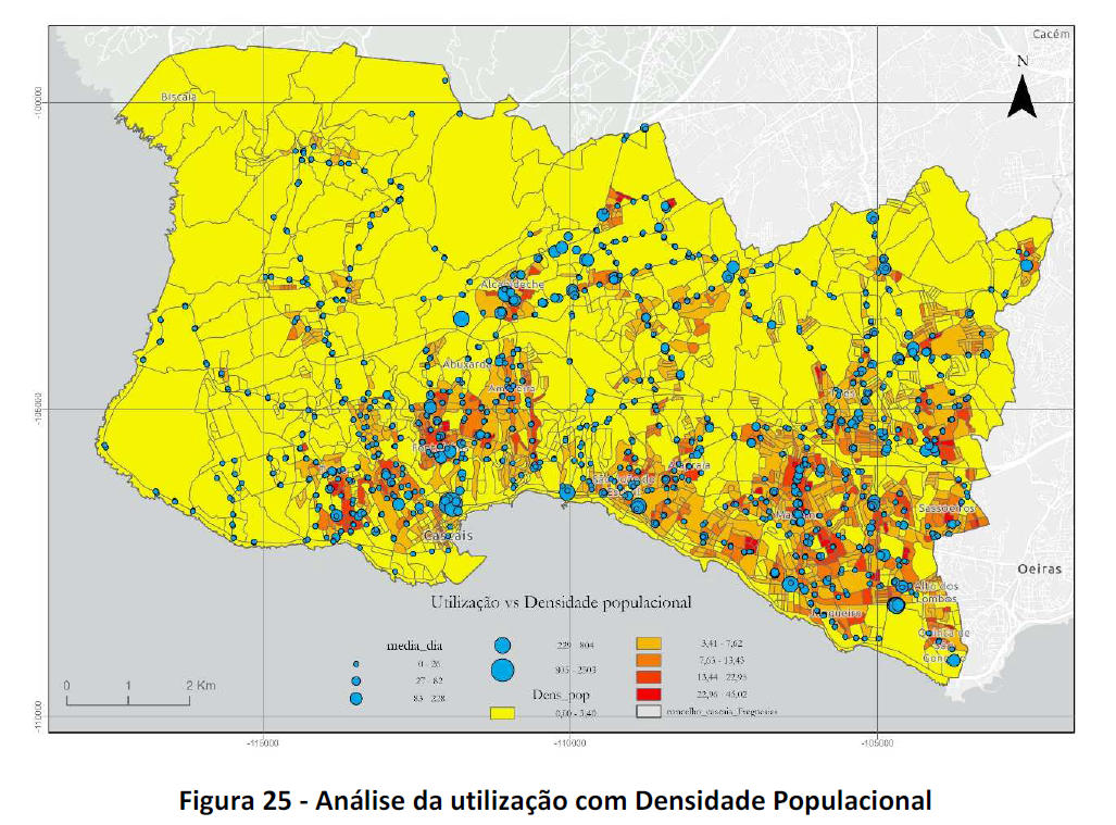 Geospatial model that identifies the areas with the highest demand or need for public transport, as well as the current coverage of the municipal bus network. It highlights the improvements to be implemented across the territory to optimize the system.
Producer: Mª. Rosário Rodrigues (Tese de Mestrado)
Data Used: Comércio e Serviços | Estabelecimentos de Indústria | Estabelecimentos Escolares Públicos | Centros Comerciais | Equipamentos de Saúde | Serviços de Administração Local | Administração Central |